Image

New Planning Approval Process
Starting January 1, 2024, a new approval process is in place for projects reviewed by the Planning Department.
Learn MoreImage

2022 - 2023 Annual Report
The report highlights our accomplishments, initiatives, and progress toward achieving the City's long-term planning and development goals.
Learn MoreImage

The Future of Downtown
Find out more about Mayor Breed's Roadmap to San Francisco's Future
Learn MoreHearings & Events
Apr
24
Hearing
Zoning Variance Hearing
9:30am
City Hall, Room 408 - 1 Dr. Carlton B. Goodlett Place
SEE AGENDA
Apr
25
Hearing
Planning Commission
12:00pm
Commission Chambers Rm 400, 1 Dr. Carlton B. Goodlett Place
SEE AGENDA
May
1
Hearing
Historic Preservation Commission
12:30pm
Commission Chambers, Rm 400 - City Hall - 1 Dr. Carlton B. Goodlett Place

Photo: iStock/LumiNova
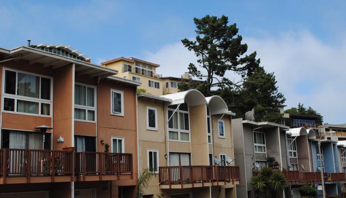
Ministerial Projects
Some projects may qualify for a ministerial, non-discretionary review.
Learn More
Photo: Felix Uribe, Courtesy of Tenderloin Community Benefit District
Tenderloin Community Action Plan
A neighborhood-driven collaboration that will identify current needs and develop a collective vision for Tenderloin’s future.
Learn More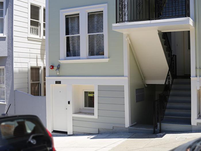
Credit: San Francisco Planning
Accessory Dwelling Units
New requirements apply to ADUs proposed under the Local ADU Program.
Find Out More