Image

May is Affordable Housing Month
Learn how San Francisco can advance its affordable housing goals
Learn MoreImage

New Planning Approval Process
Starting January 1, 2024, a new approval process is in place for projects reviewed by the Planning Department
Learn MoreImage

The Future of Downtown
Find out more about Mayor Breed's Roadmap to San Francisco's Future
Learn MoreTranslation Services: San Francisco Planning will provide Cantonese interpretation for item number 13 at the Planning Commission Hearing.
翻譯服務: 三藩市規劃署將在規劃委員會聽證會上為第 13 項提供廣東話 口譯。
翻譯服務: 三藩市規劃署將在規劃委員會聽證會上為第 13 項提供廣東話 口譯。
Hearings & Events
May
1
May
1
Hearing
Historic Preservation Commission
WATCH ONLINE
12:30pm
Commission Chambers, Rm 400 - City Hall - 1 Dr. Carlton B. Goodlett Place
SEE AGENDA
May
1
Hearing
ARCHITECTURAL REVIEW COMMITTEE
1:00pm
Commission Chambers Rm 400, 1 Dr. Carlton B. Goodlett Place
SEE AGENDA

Photo: iStock/LumiNova
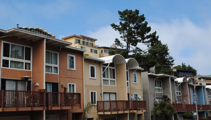
Ministerial Projects
Some projects may qualify for a ministerial, non-discretionary review.
Learn More
Photo: Felix Uribe, Courtesy of Tenderloin Community Benefit District
Tenderloin Community Action Plan
A neighborhood-driven collaboration that will identify current needs and develop a collective vision for Tenderloin’s future.
Learn More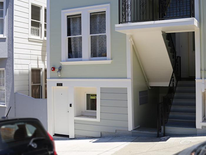
Credit: San Francisco Planning
Accessory Dwelling Units
New requirements apply to ADUs proposed under the Local ADU Program.
Find Out More