Image

The Family Zoning Plan
Increasing housing affordability and availability through greater density across the City.
Learn More

Hearings & Events
Aug
20
Hearing
Historic Preservation Commission
WATCH ONLINE
12:30pm
Commission Chambers, Rm 400 - City Hall - 1 Dr. Carlton B. Goodlett Place
SEE AGENDA
Aug
20
Community Meeting
Bayview Hunters Point Citizen Advisory Committee Meeting
6:00pm to 8:00pm
New Southeast Community Facility - Visitacion Valley Room, 1550 Evans Avenue, San Francisco, CA 94121
Aug
21
Hearing
Planning Commission - Cancelled
12:00pm
Commission Chambers Rm 400, 1 Dr. Carlton B. Goodlett Place

Credit: iStock/FangXiaNuo
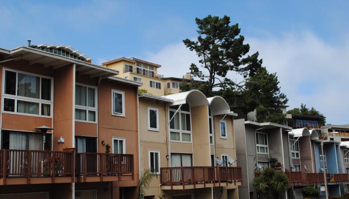
New ADU Permit Review RoundTable
Learn how you can create housing in your basement, garage, or backyard.
Learn More
Plain Grey Background Photo
Entitlement Extensions
State law now offers 18-month entitlement extensions for eligible housing projects.
Learn More
Photo: iStock/LumiNova
Ministerial Projects
Some projects may qualify for a ministerial, non-discretionary review.
Learn More